
We are delivering a comprehensive design solution for the Tato-II Hydroelectric Project.
Our work covers:
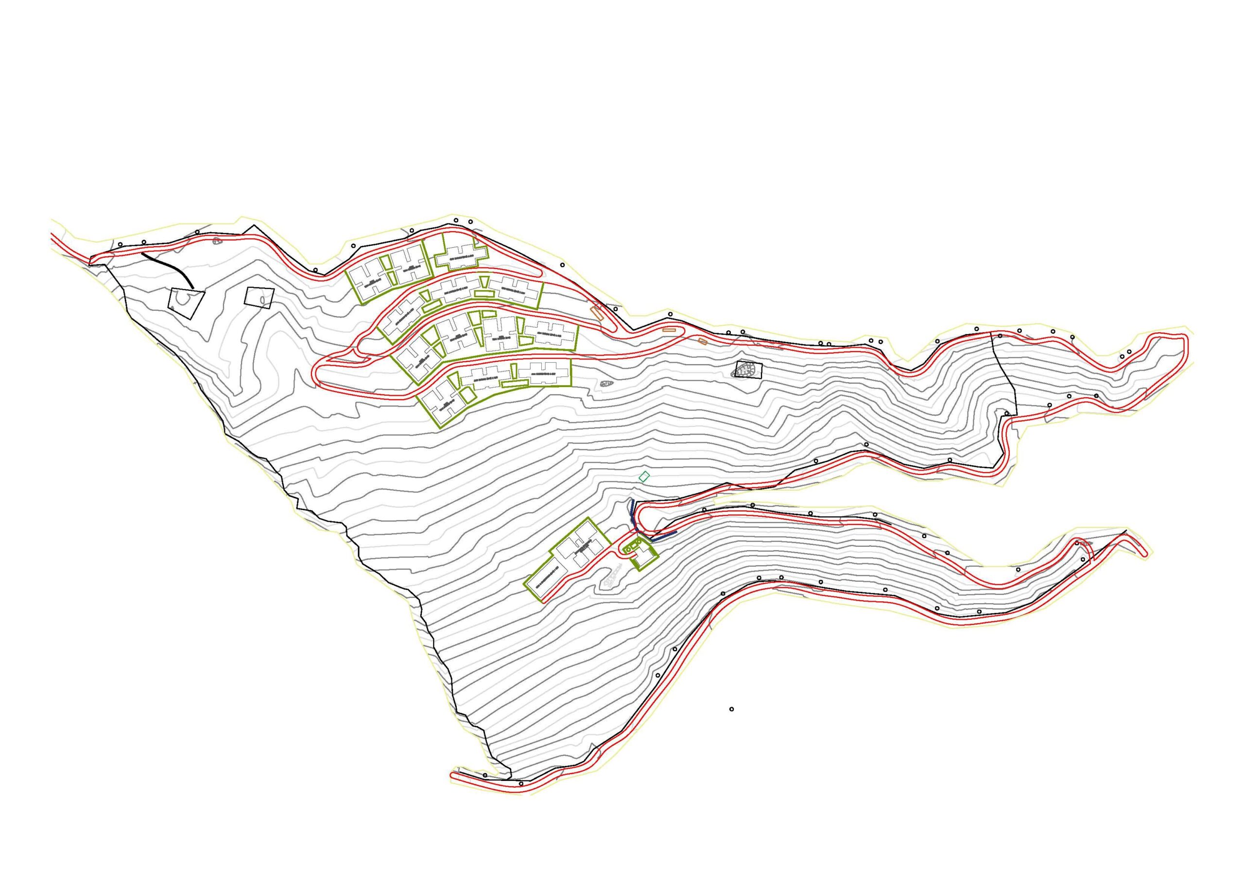
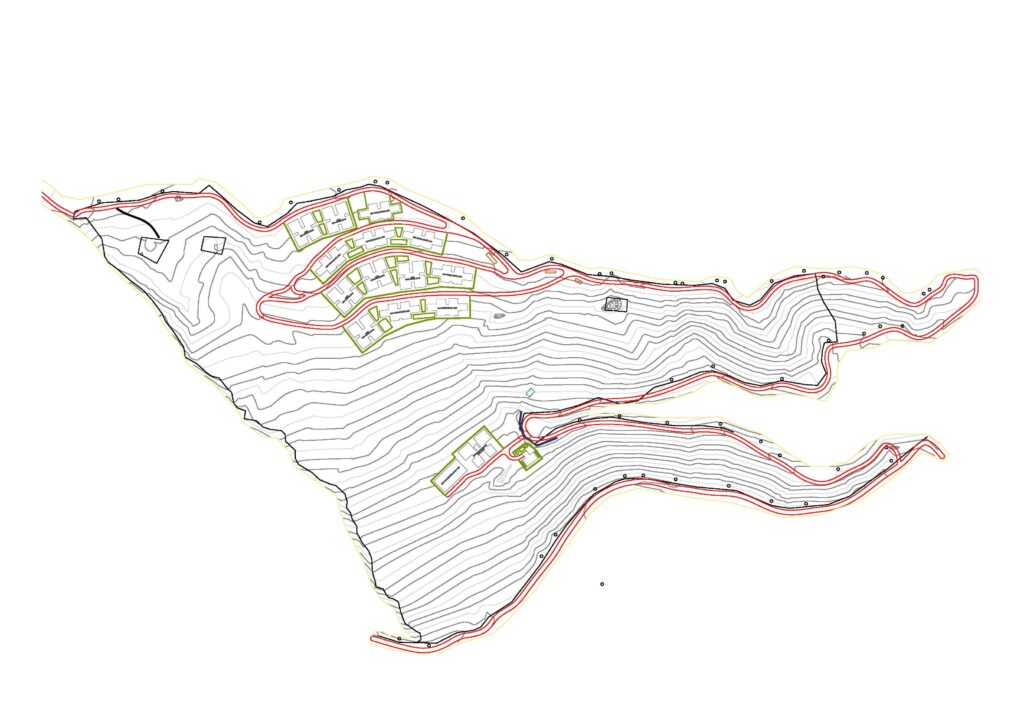
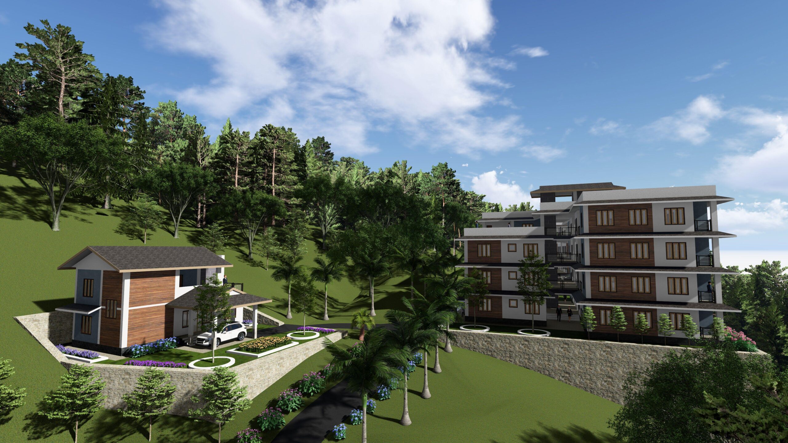
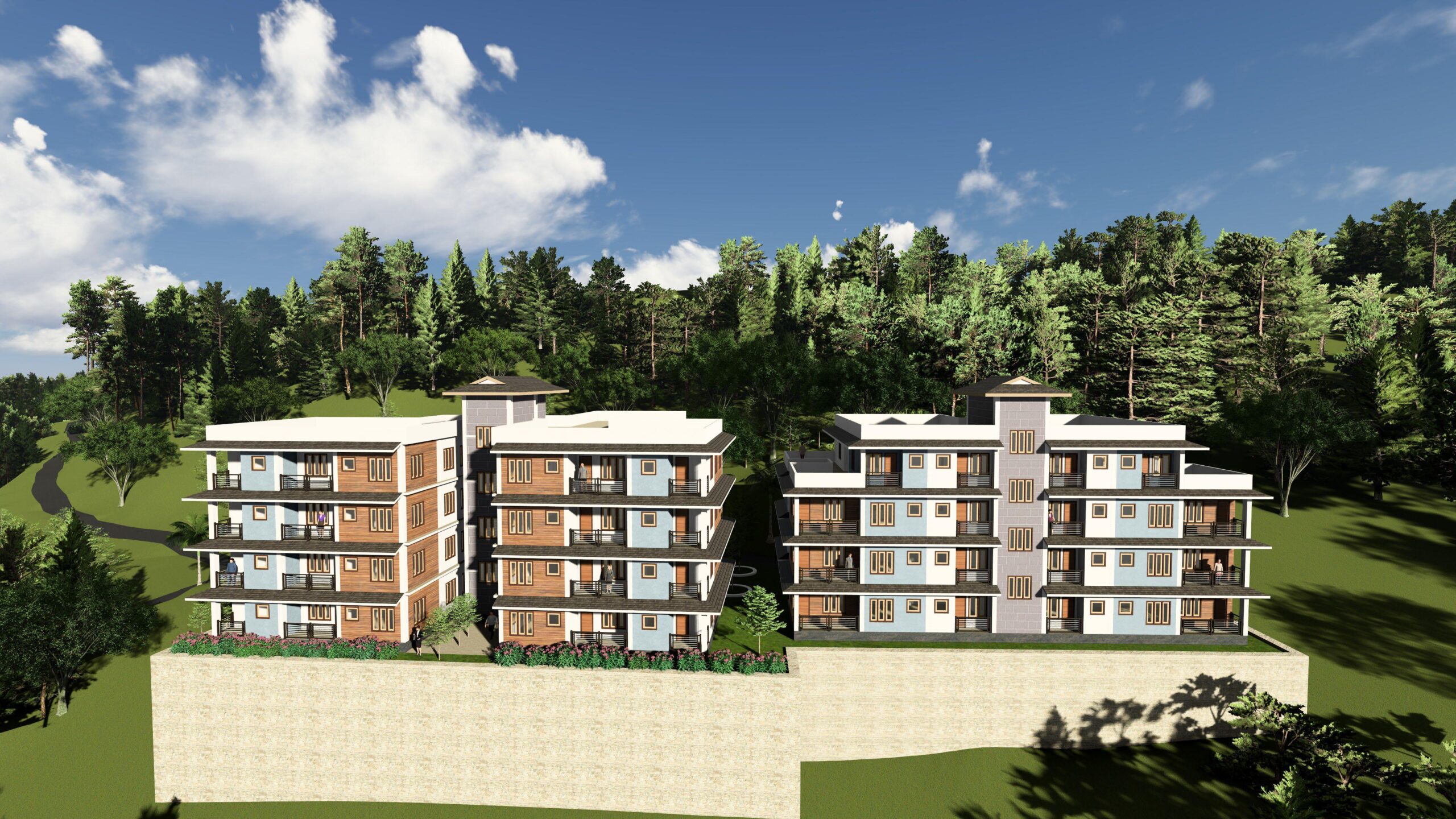
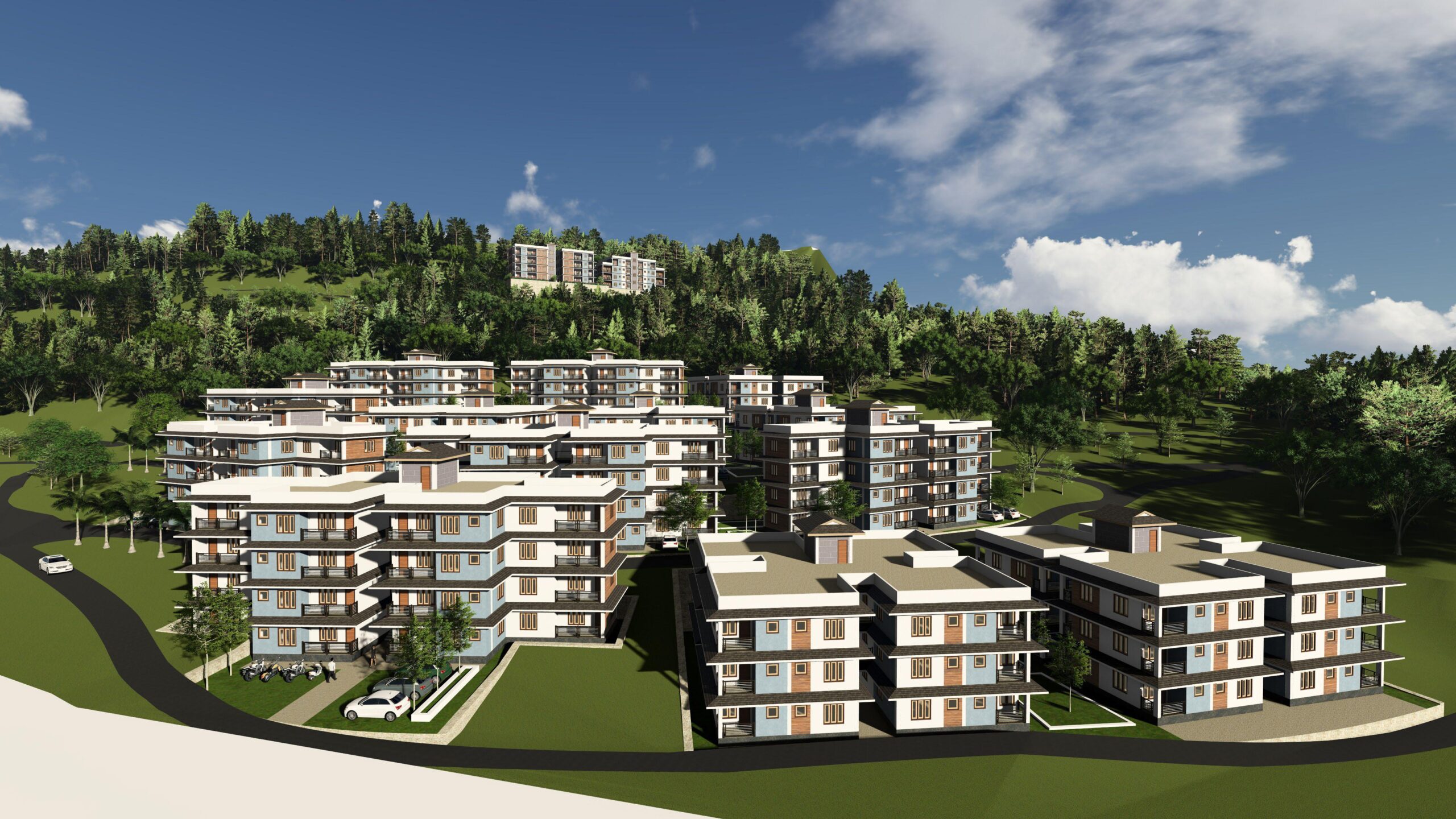
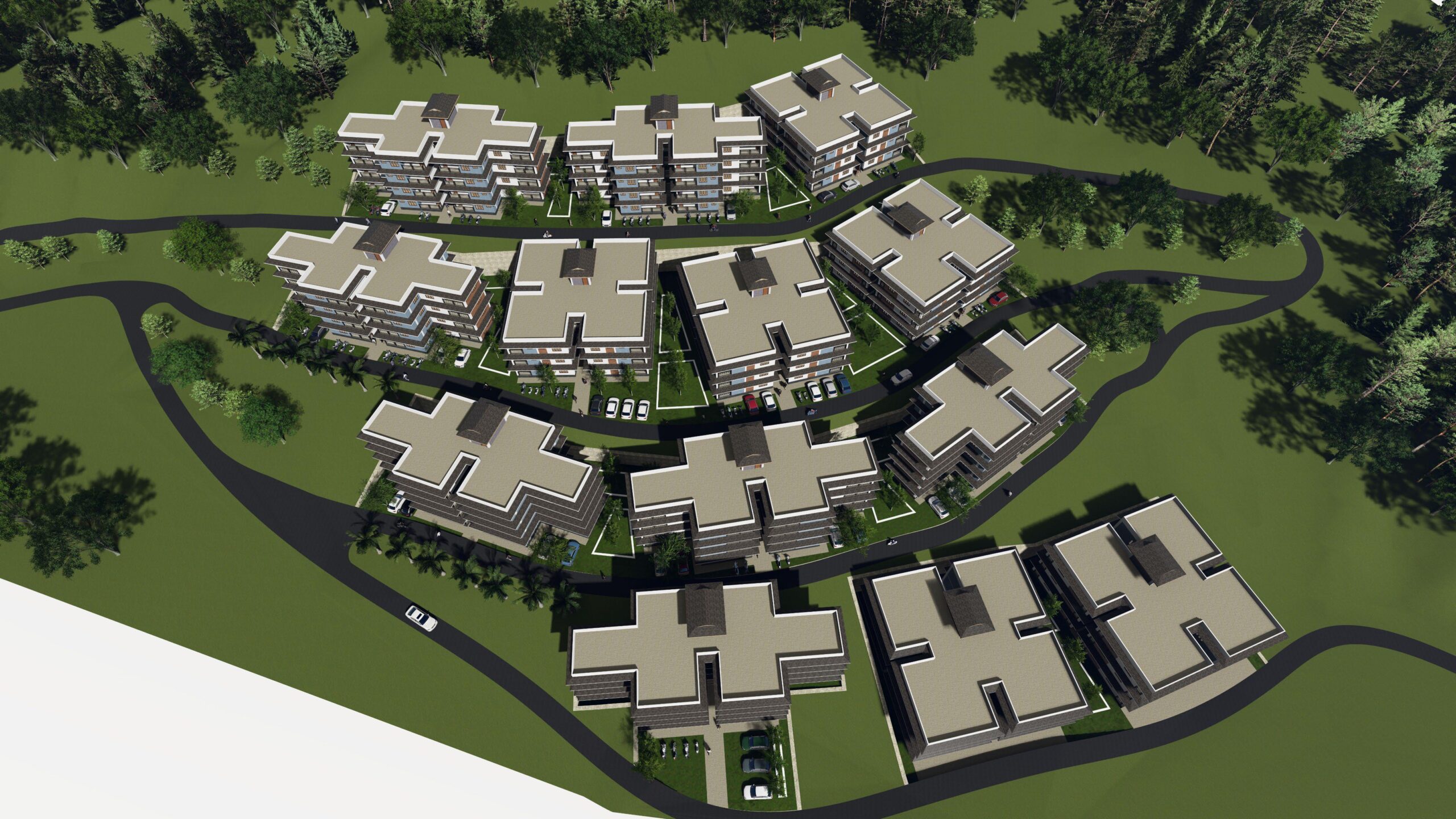
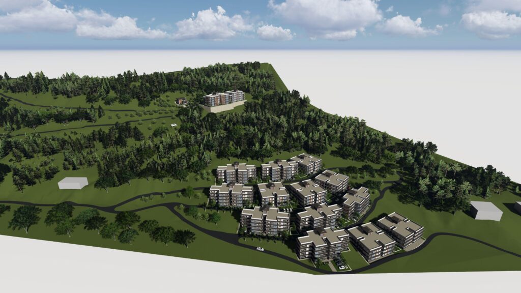
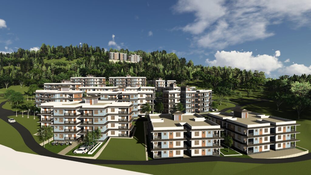
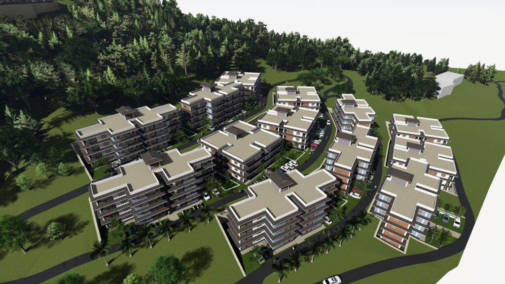
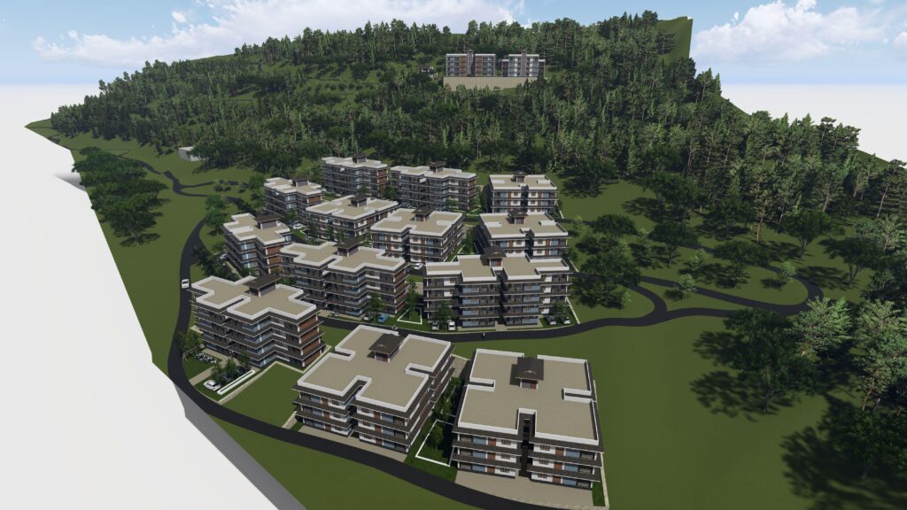
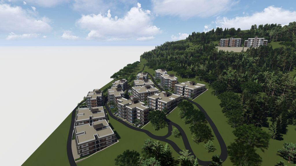
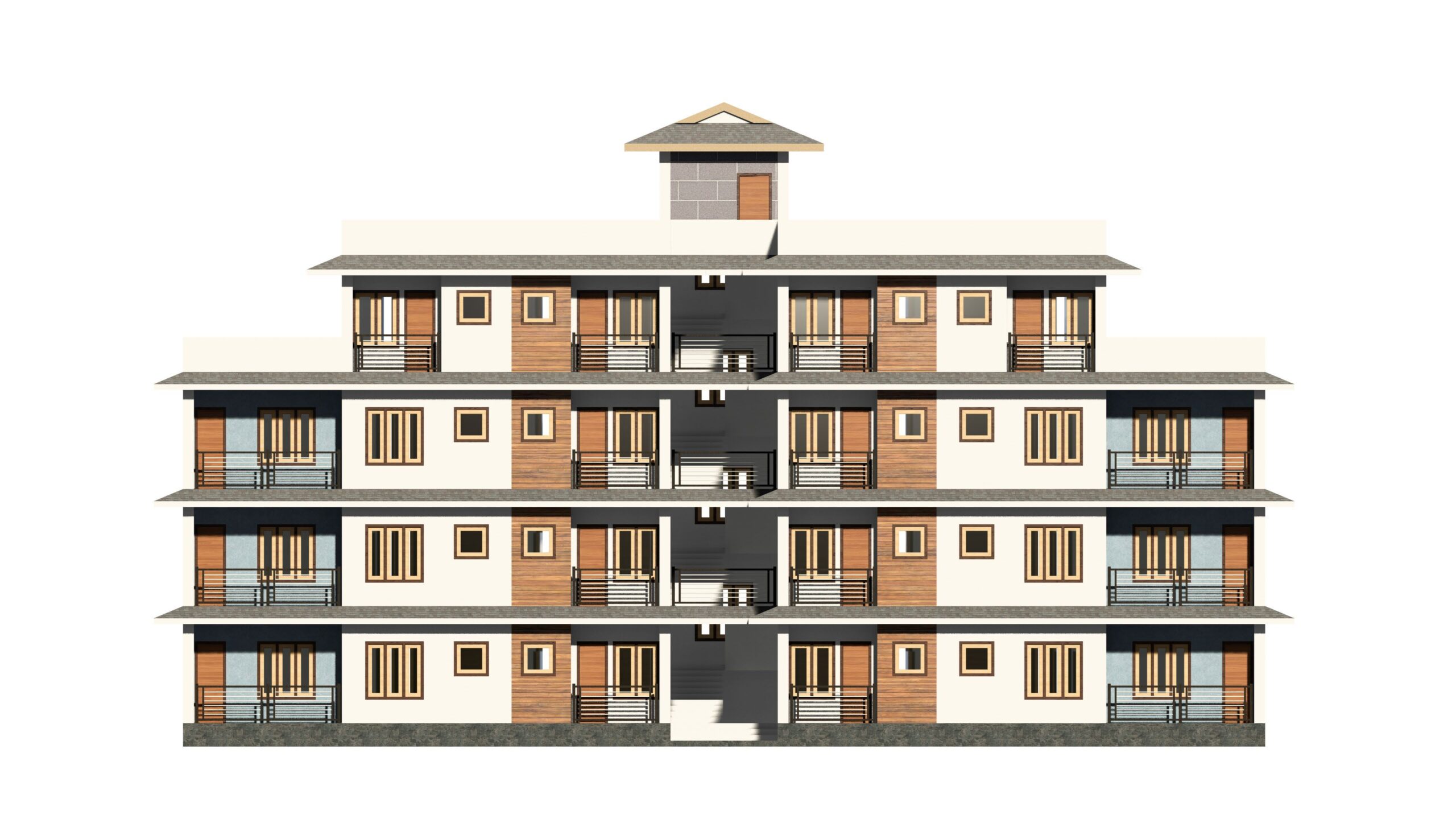
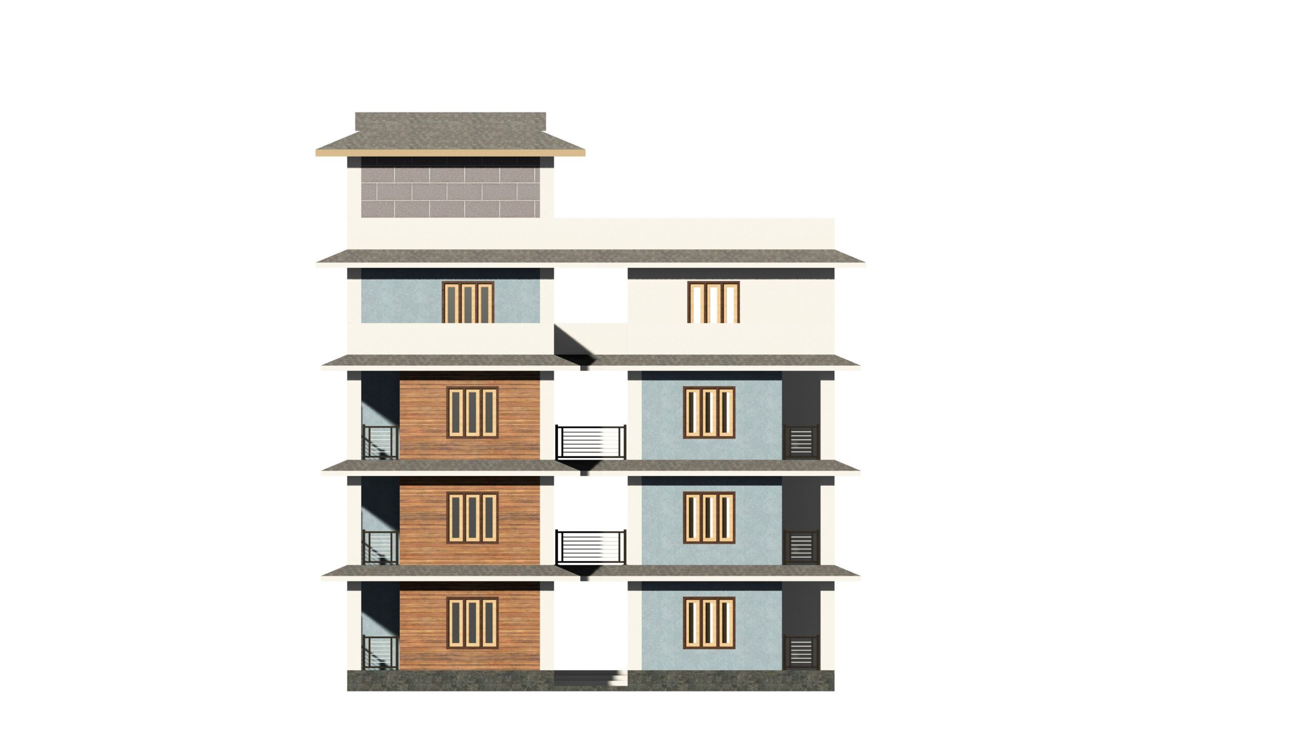
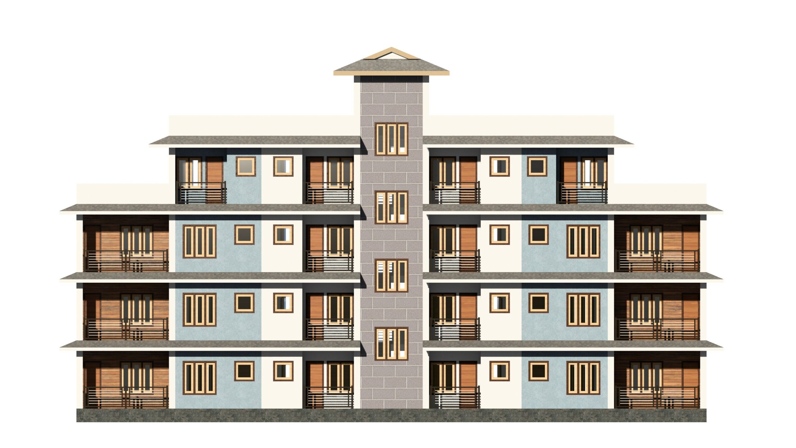
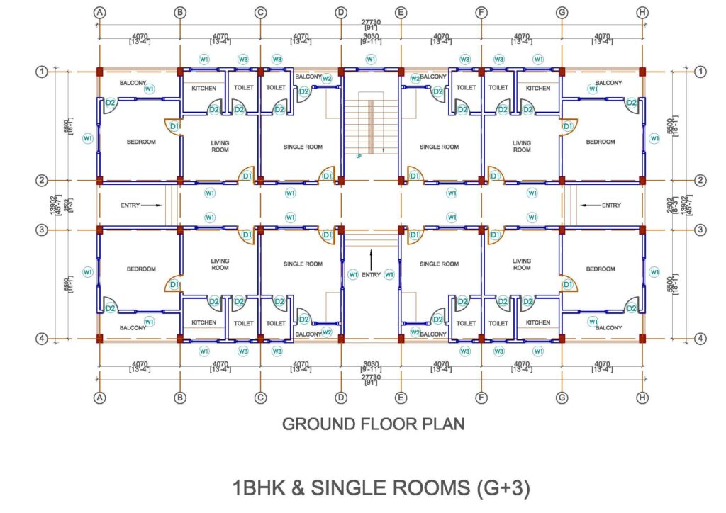
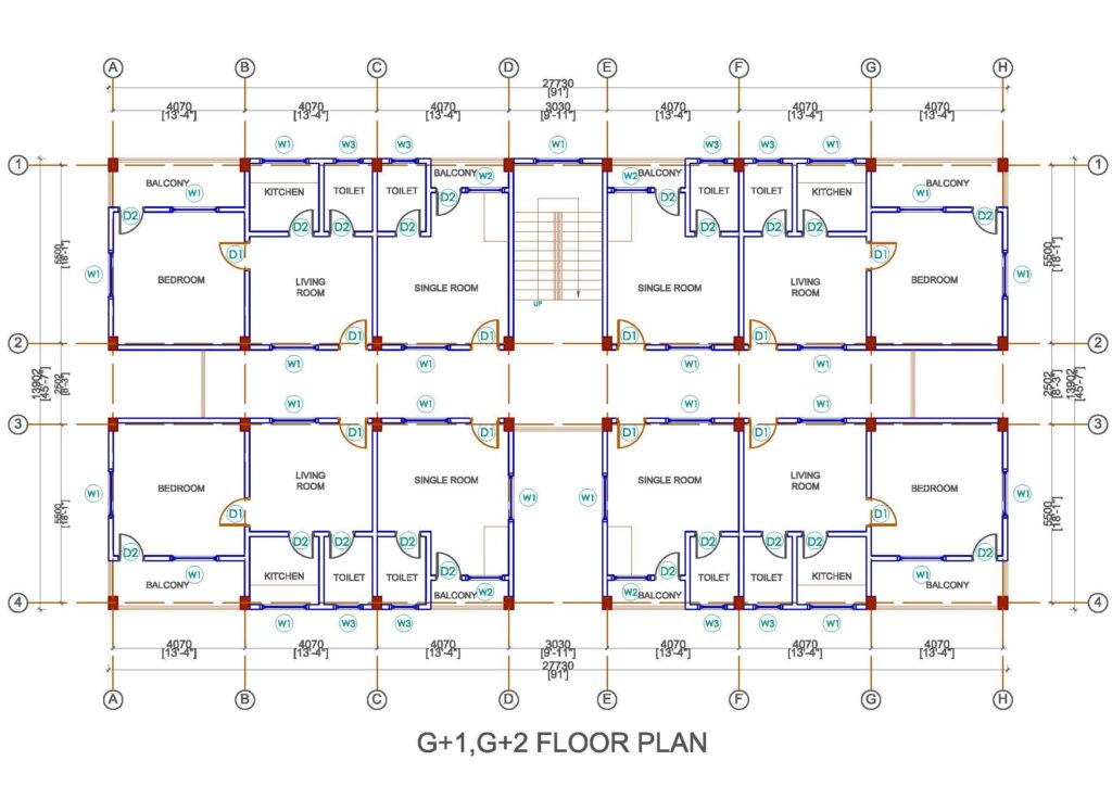
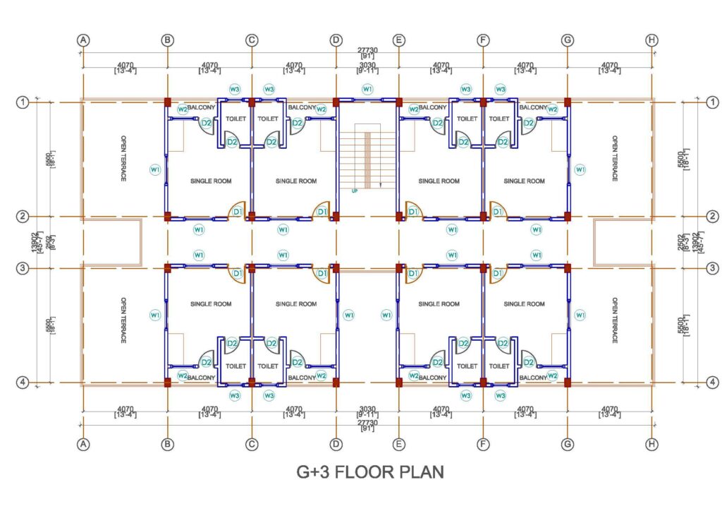
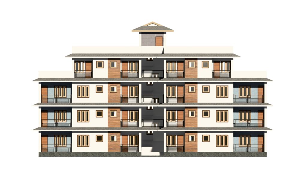
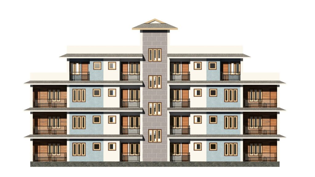
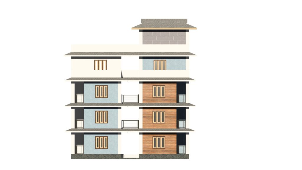
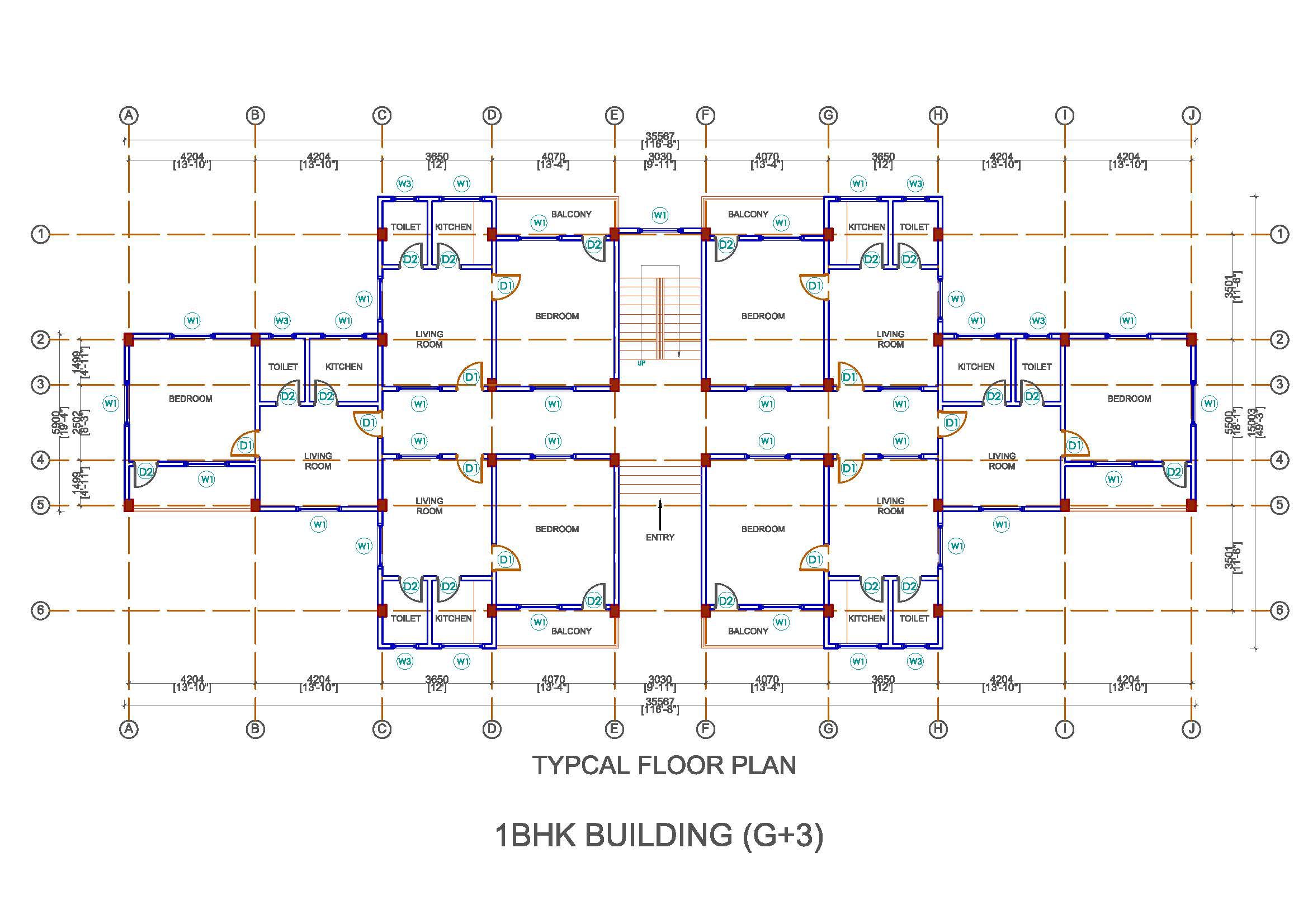
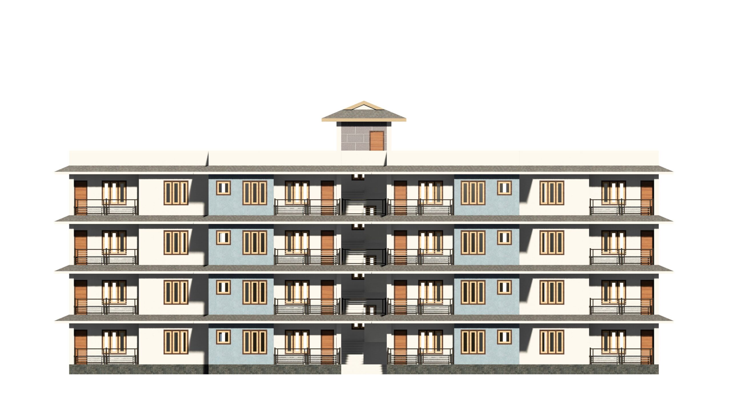
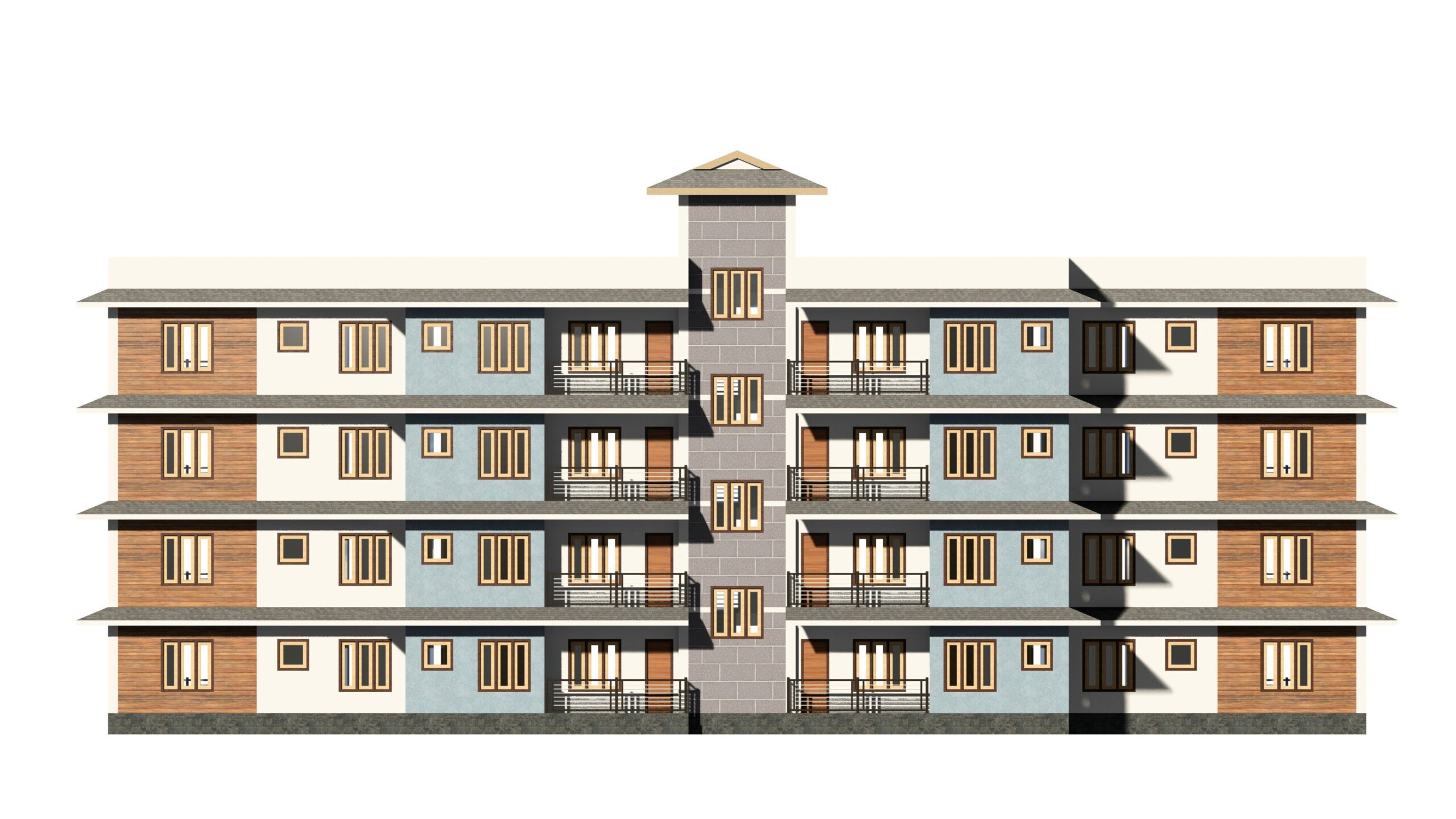
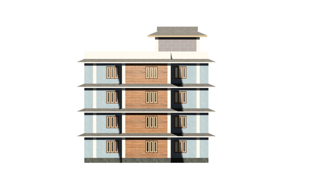
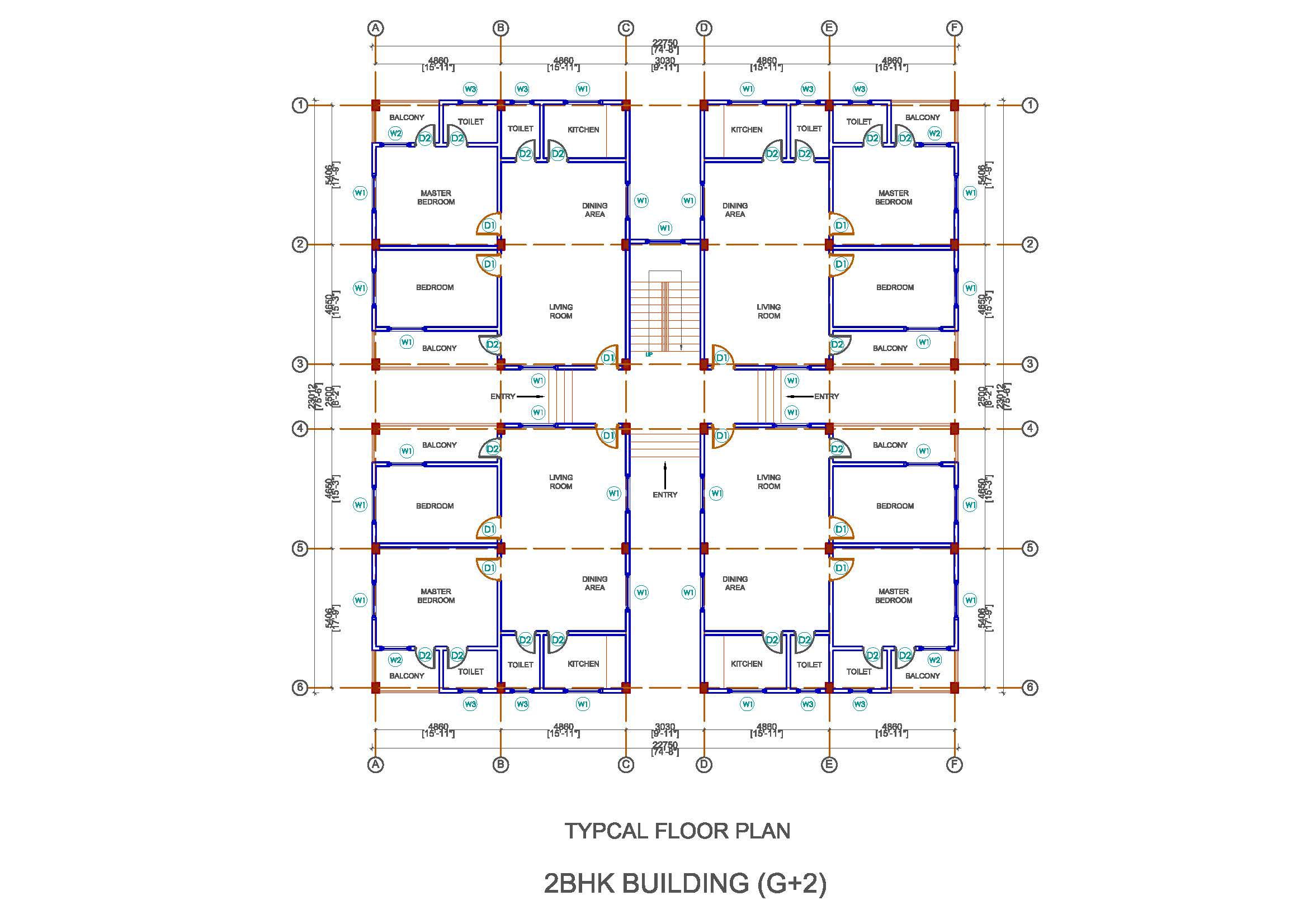
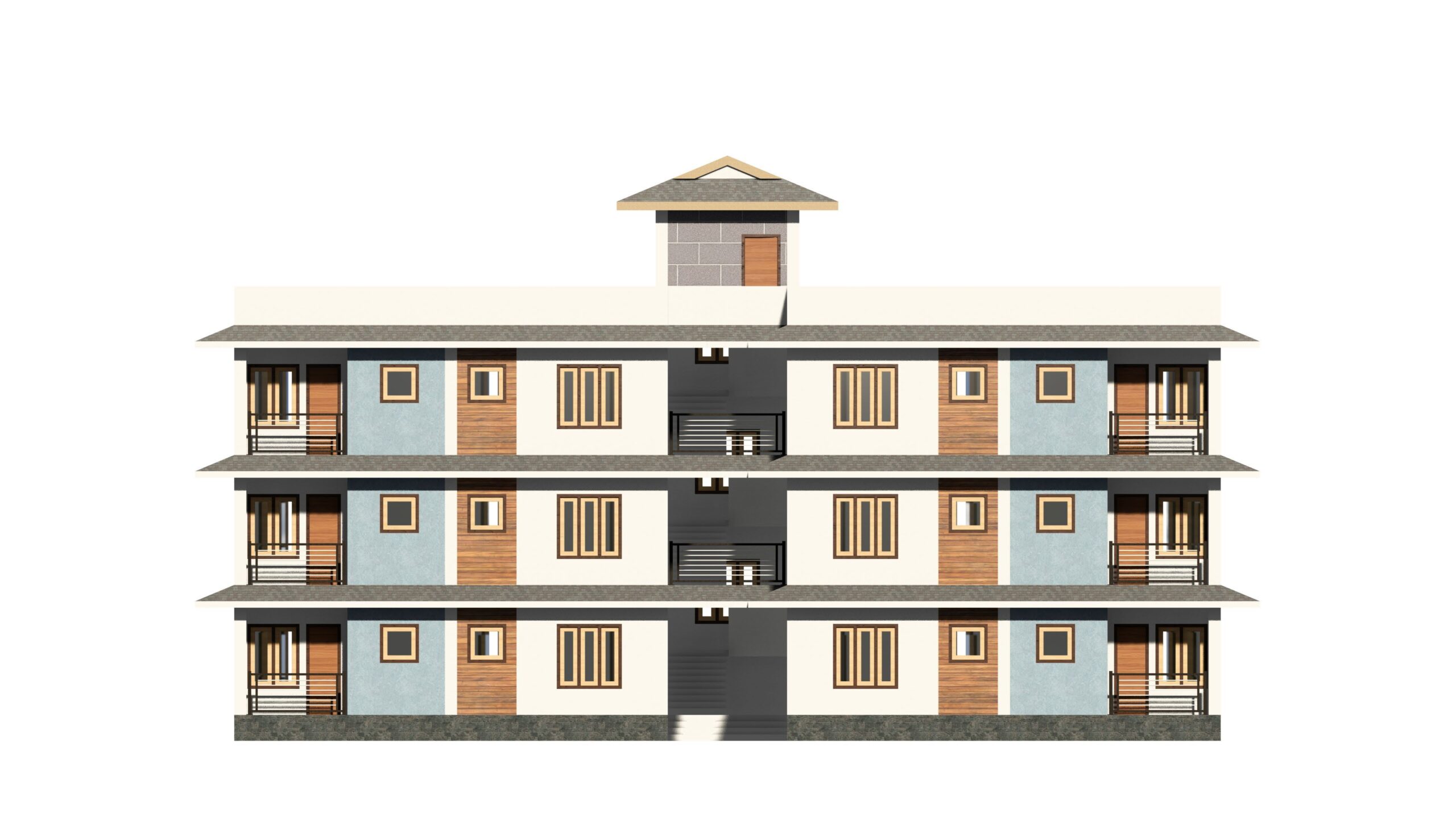
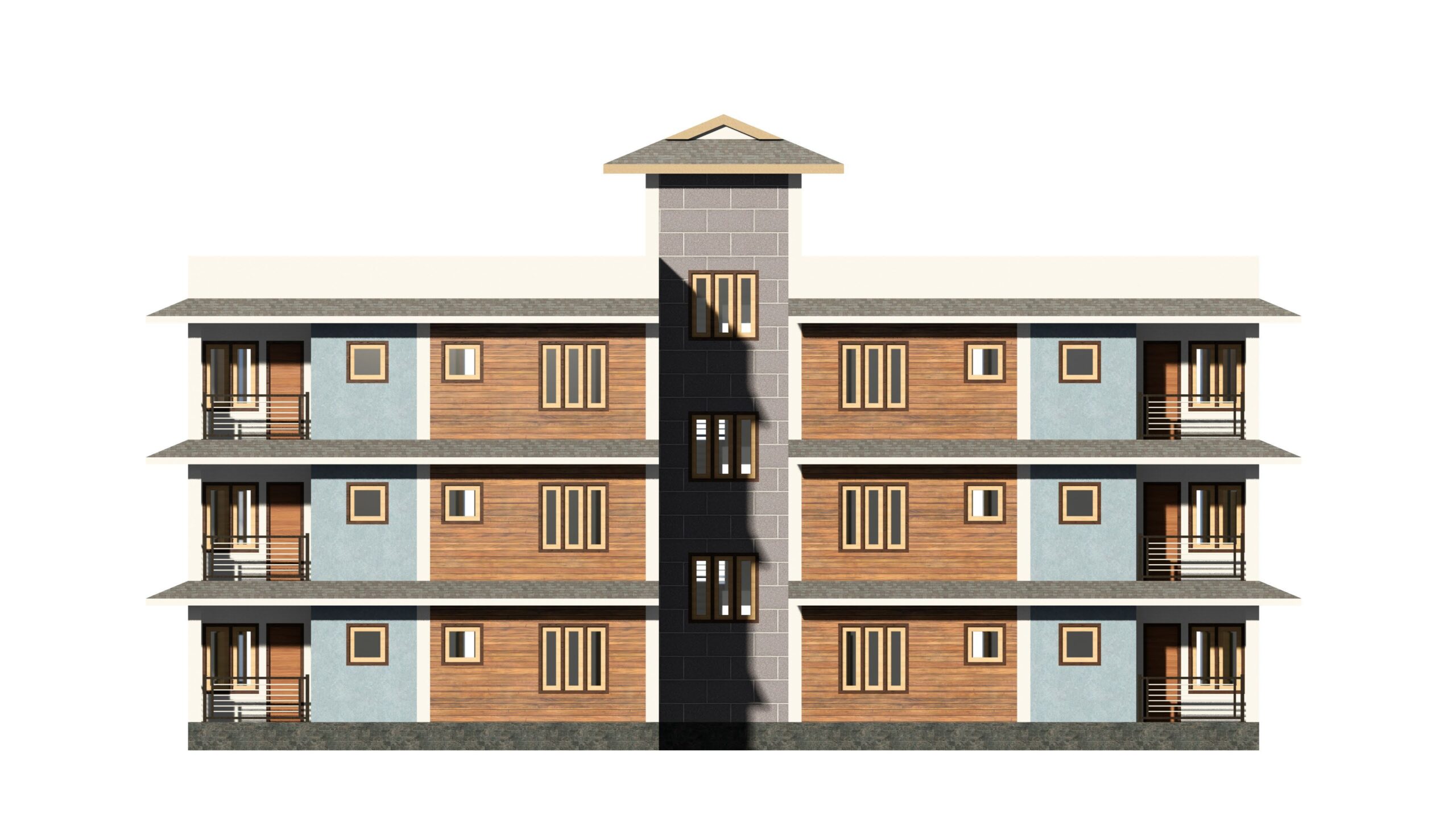
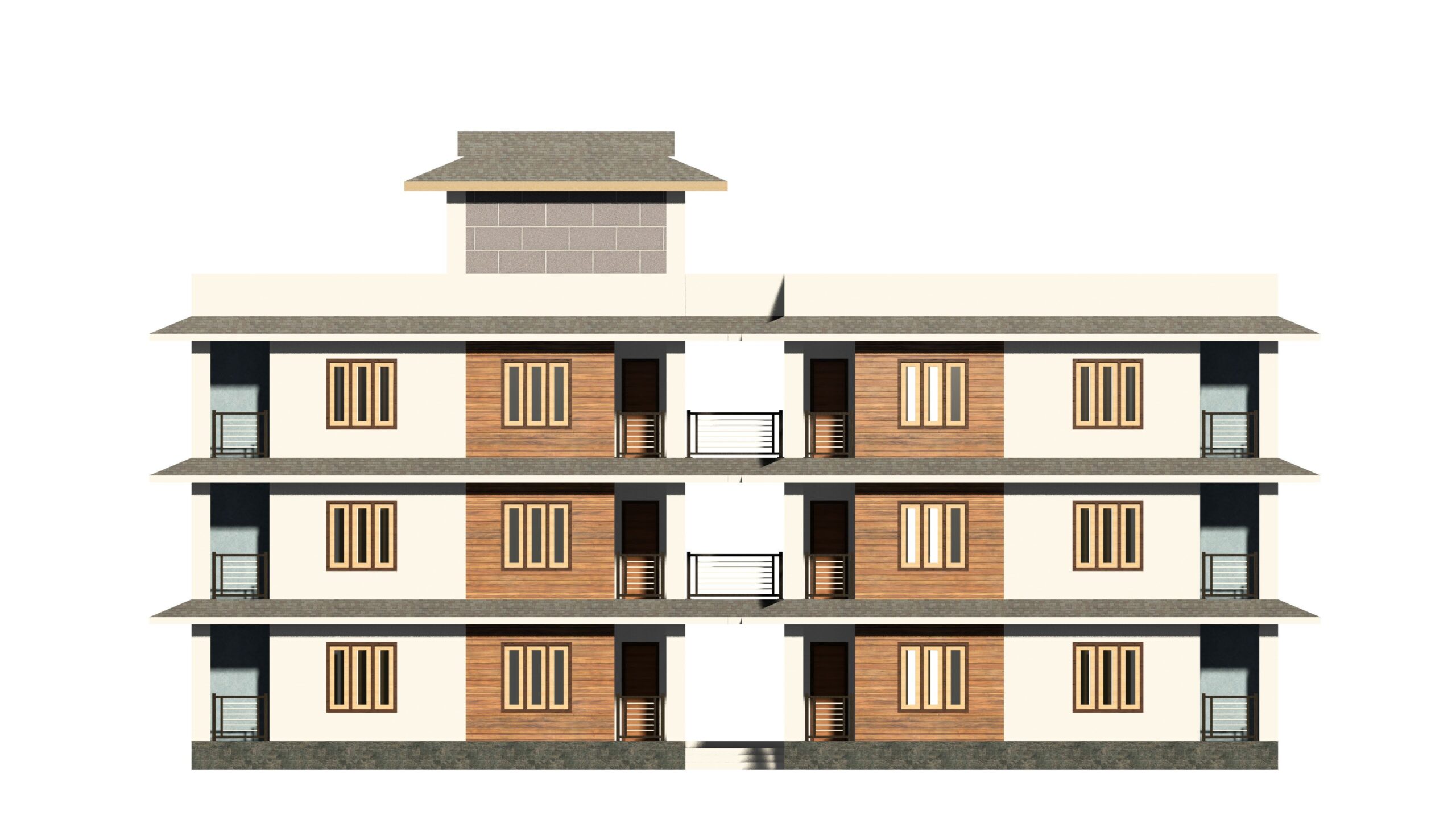
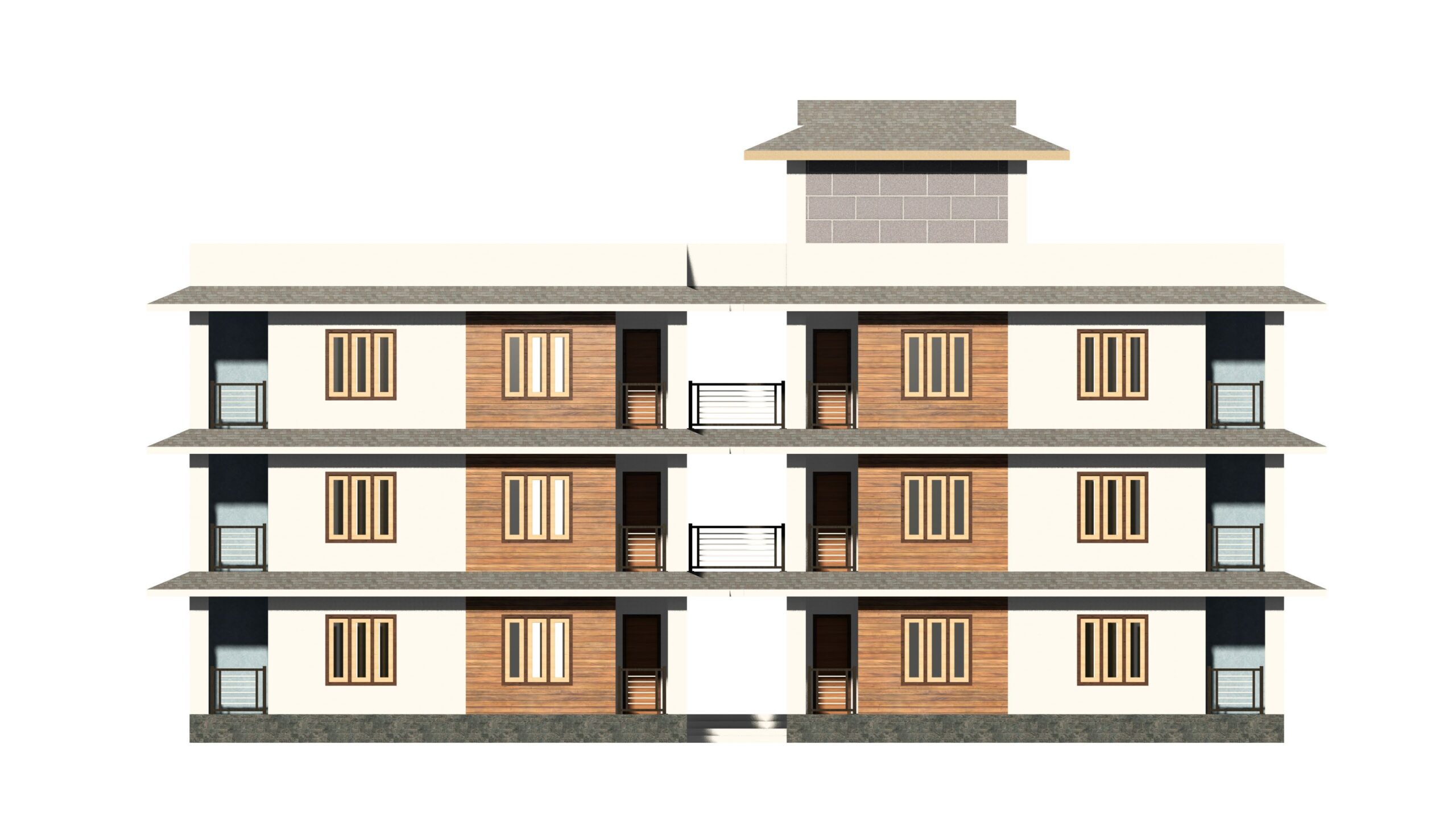
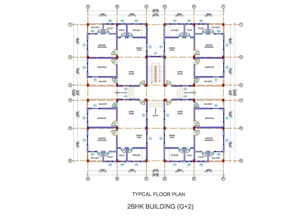
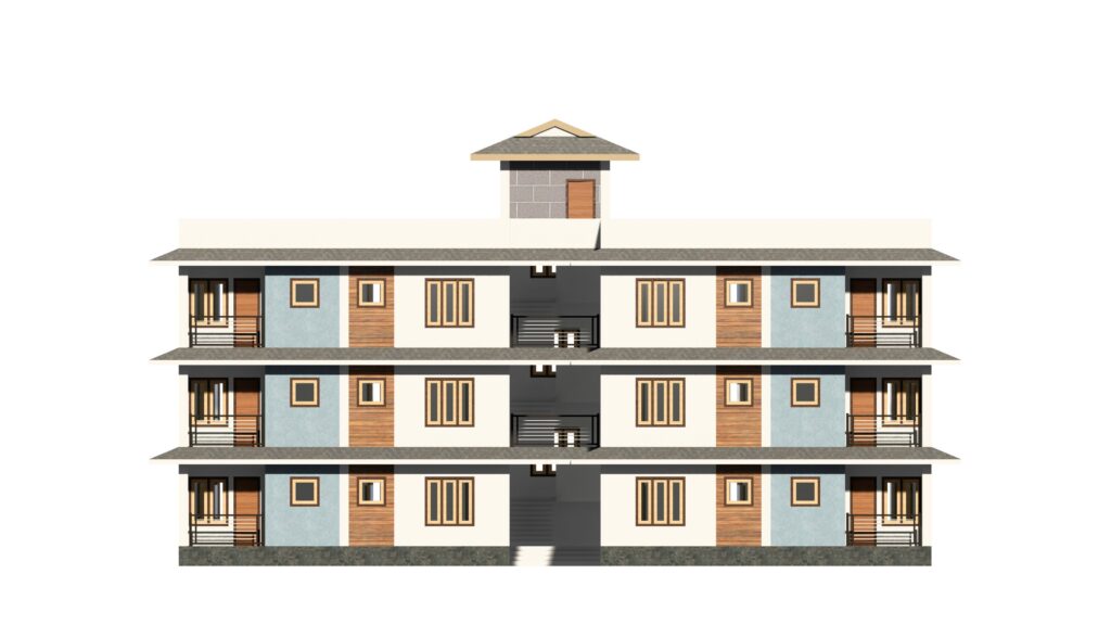
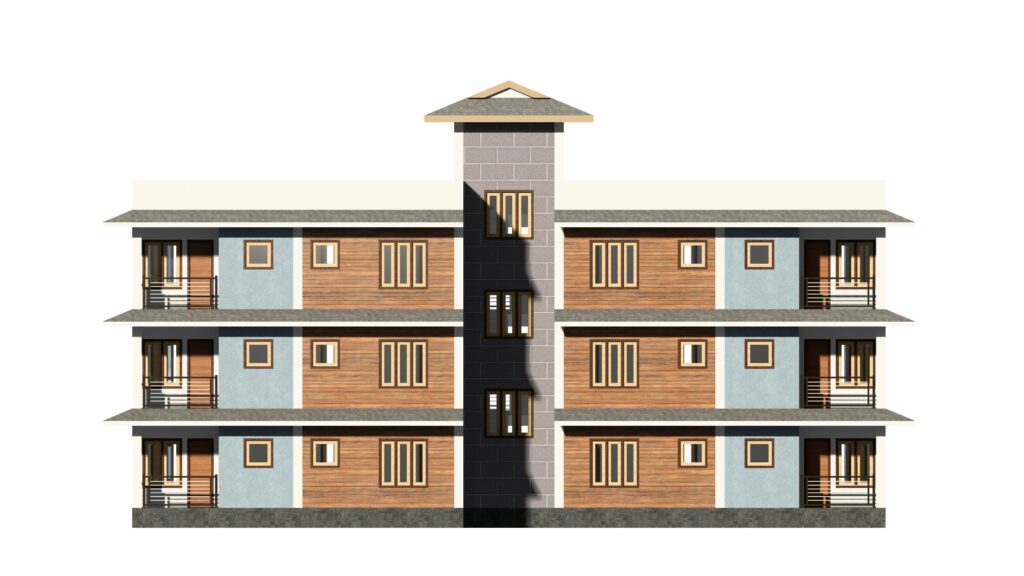
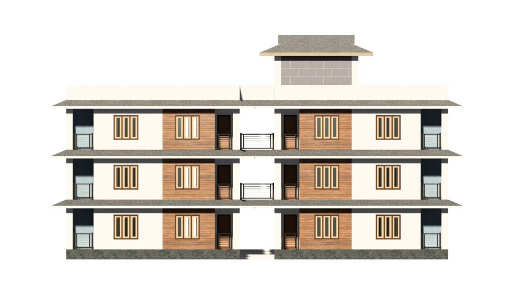
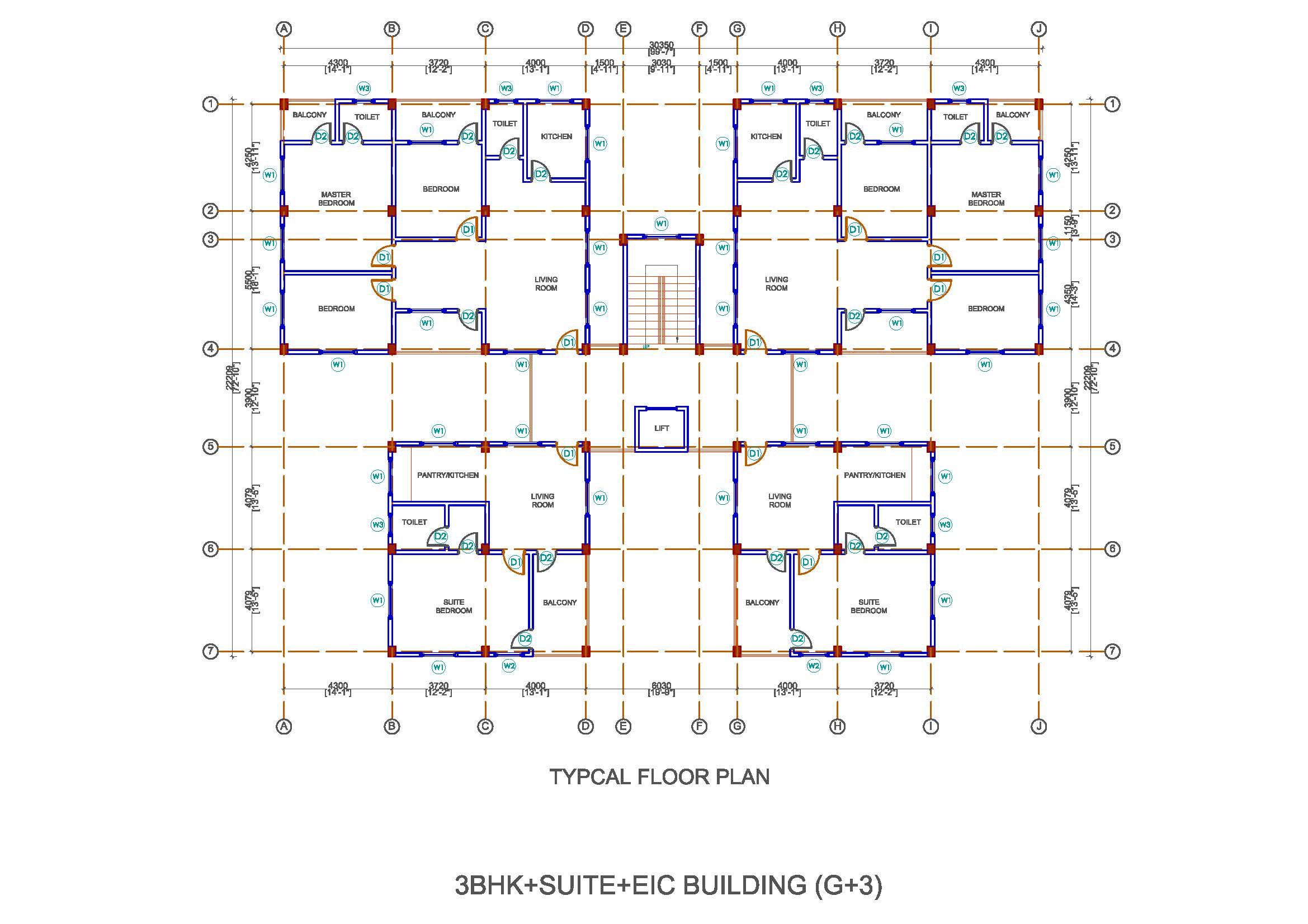
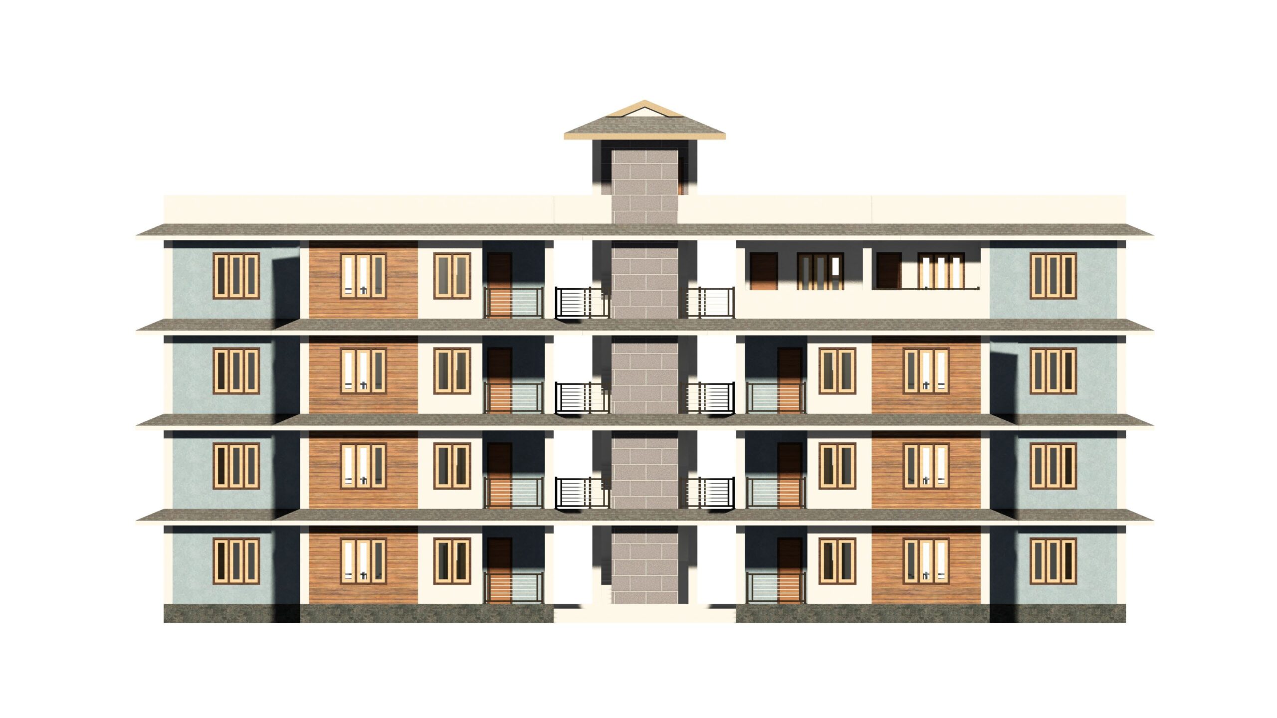
Master planning of the colony complex
Innovative landscaping solutions
Infrastructure design
Focused strategies for project management and long-term sustainability
To ensure precision and reliability, our team uses advanced surveying technology:
DGPS (Differential Global Positioning System) for high-accuracy mapping at Tato
UTM (Universal Transverse Mercator) coordinate-based data for exact geolocation
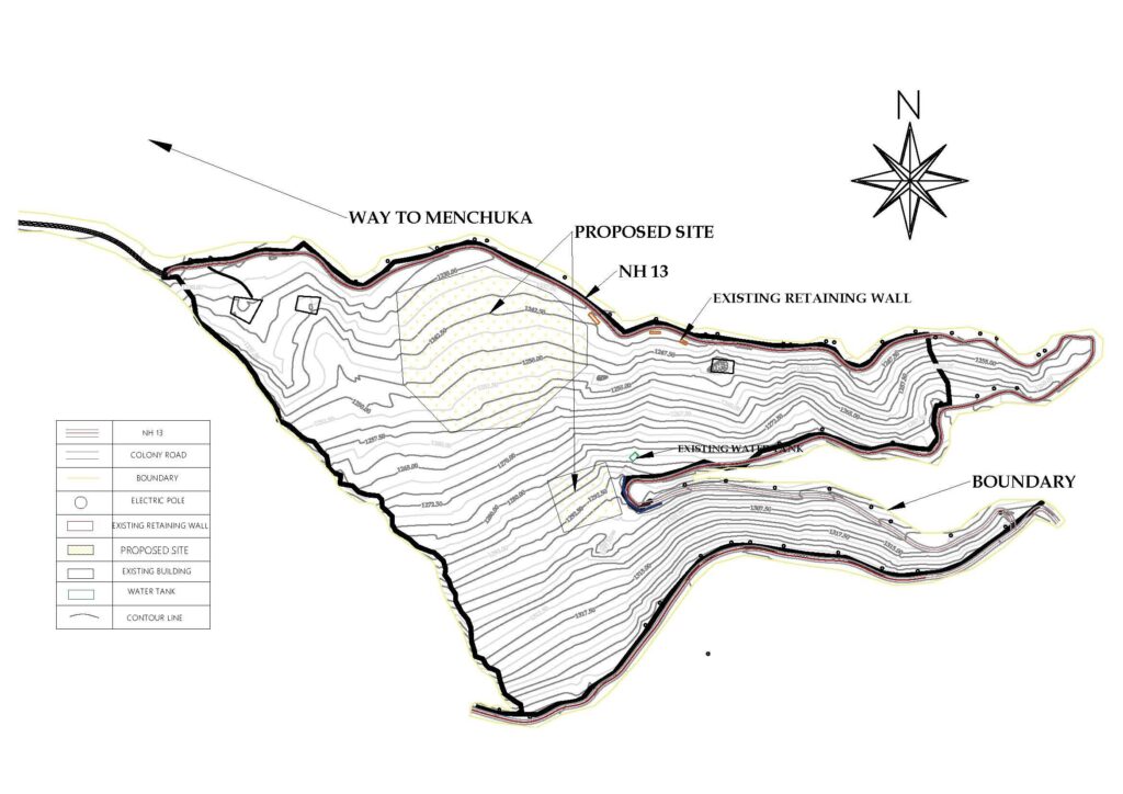
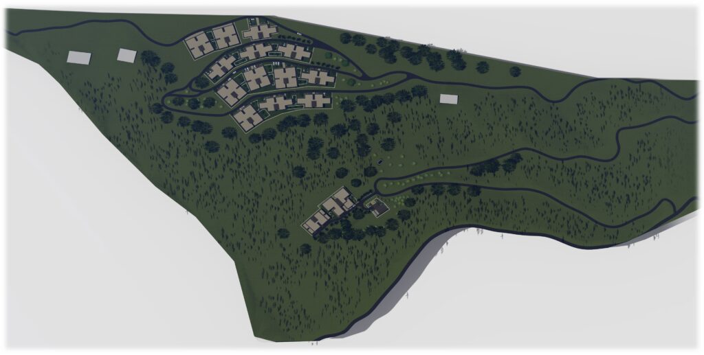
Location: Tato – chosen for the proposed planning, landscaping, and infrastructure development of the Tato-II Hydroelectric Project
Survey Area: Approximately 16 hectares
Altitude: 1,240 meters above mean sea level (MSL)
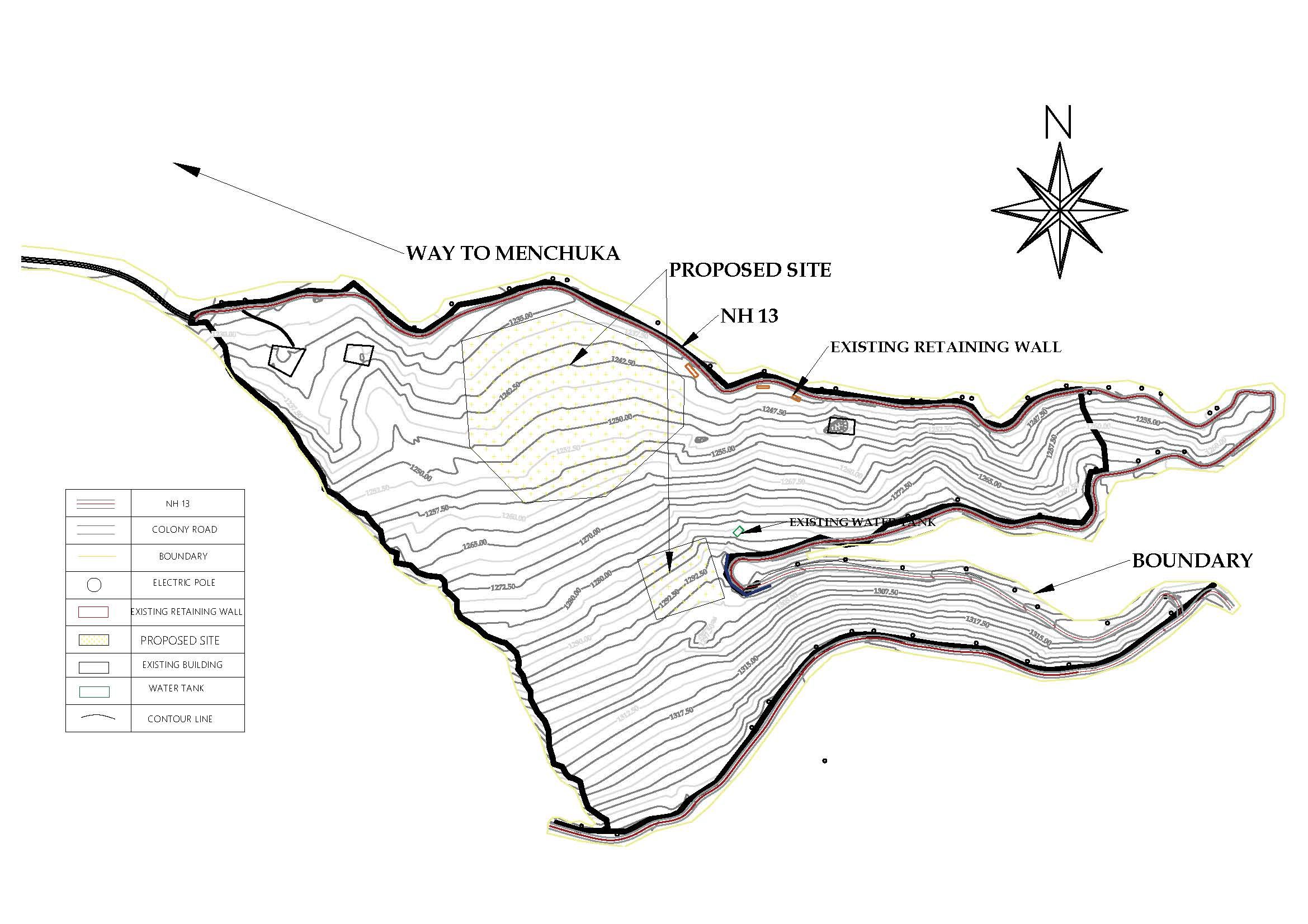
Precision in Infrastructure Planning
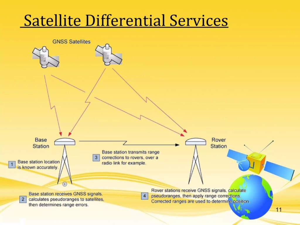
We use DGPS (Differential Global Positioning System) technology to achieve unmatched accuracy and efficiency in mapping drainage systems. This allows our engineers to design optimal layouts, ensuring effective and sustainable infrastructure development.
Key Highlights:
Satellite-based navigation technology
Uses WGS (World Geodetic System) and UTM (Universal Transverse Mercator) coordinates for precise location mapping
DGPS at Tato-II Hydroelectric Project
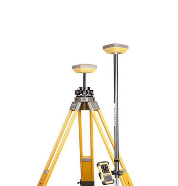
Advanced DGPS Equipment
Our high-performance DGPS machines were deployed for the detailed survey of the drainage layout at Tato.
Field Operations Process:
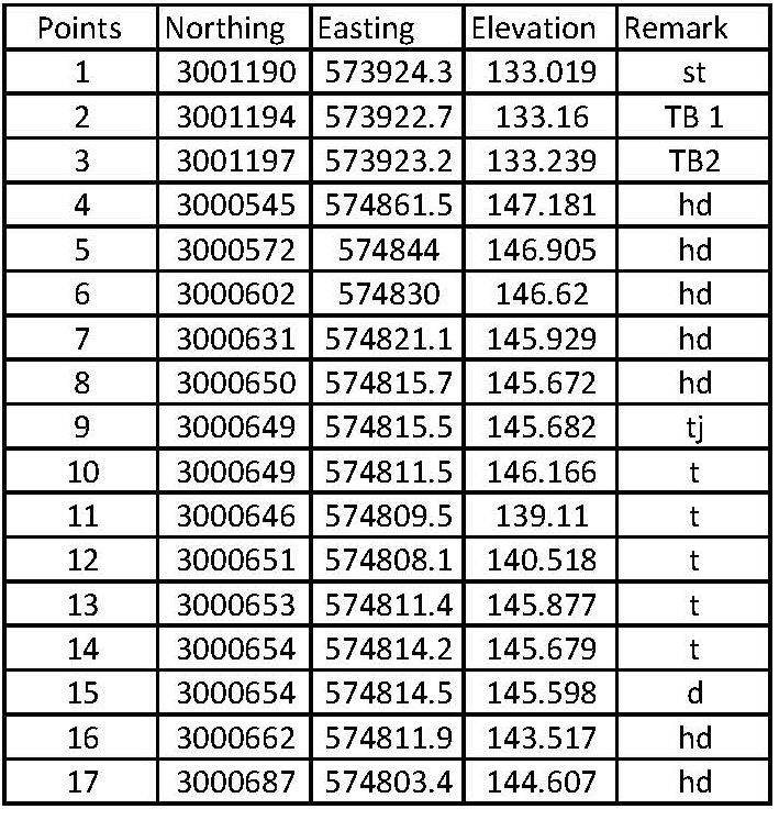
Conducted step-by-step DGPS survey to collect accurate geospatial data.
Mapped the entire drainage network with high precision.
Established Temporary Bench Marks (TBM) at multiple locations for future reference and verification.


Have a project in mind or need expert advice? Reach out — we’re here to help you every step of the way.
Convallis suspendisse rhoncus scelerisque eu penatibus consequat feugiat.
Have a project in mind or need expert advice? Reach out — we’re here to help you every step of the way.