Smart planning begins with smart data. Our GIS (Geographic Information Systems) and Land Use Mapping solutions transform raw spatial information into meaningful insights, helping clients make informed decisions for urban development, infrastructure, and environmental management.

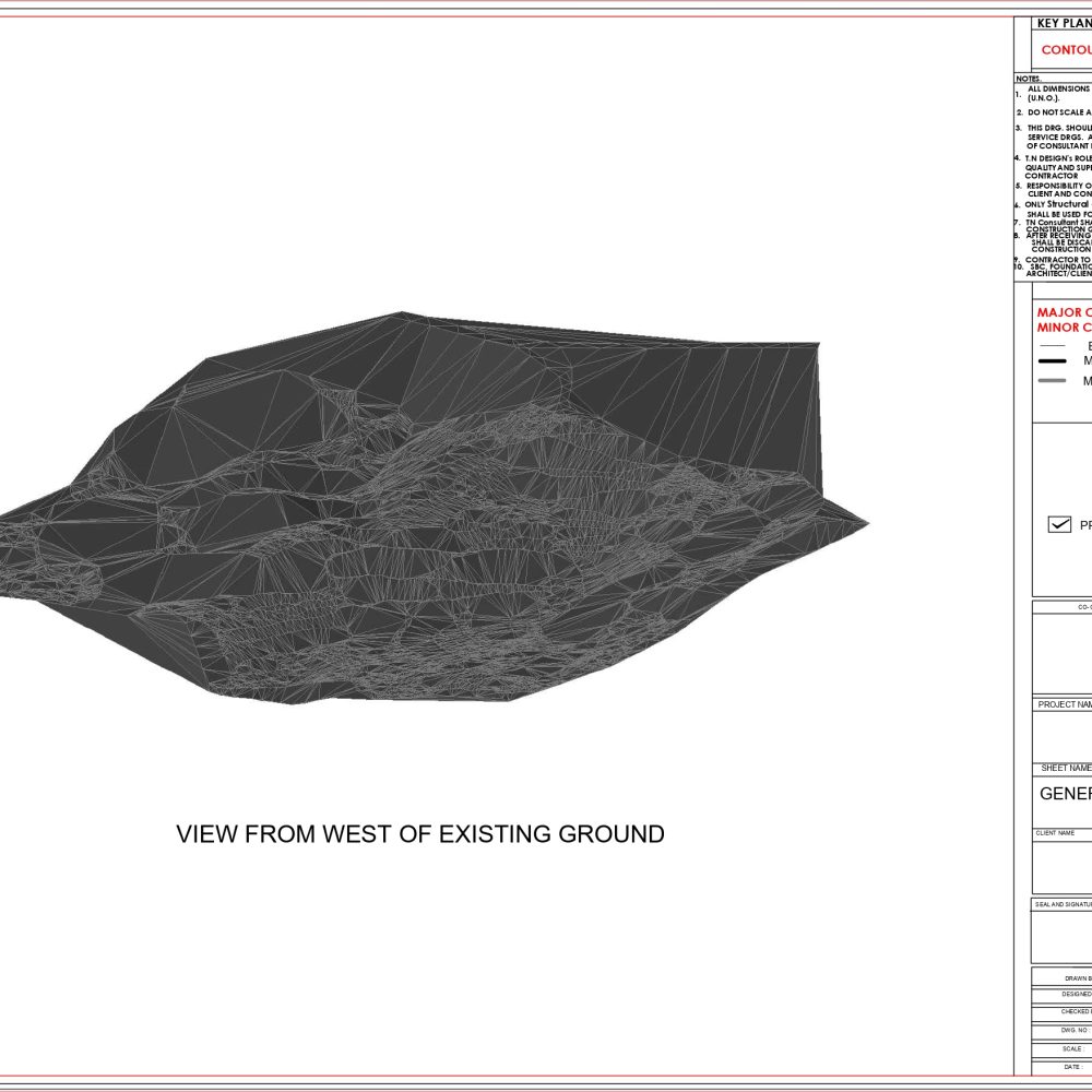
Our GIS mapping and analysis services convert raw spatial data into actionable insights. By integrating topography, utilities, transportation networks, and environmental layers into geo-referenced maps, we provide a complete and accurate view of your project site. These maps not only enhance decision-making but also help in identifying opportunities, risks, and constraints early in the planning process. From urban development to natural resource management, GIS mapping ensures that stakeholders can visualize complex information in a clear, interactive format. The result is smarter, more efficient, and sustainable project execution.
Every project is unique — and so are its mapping requirements. Our customized GIS solutions are designed to meet the specific needs of government agencies, infrastructure developers, institutions, and private enterprises. Whether it’s building a dedicated land-use database, creating interactive dashboards, or integrating GIS with CAD/BIM workflows, we tailor systems that streamline operations and enhance planning accuracy. By delivering flexible and scalable GIS applications, we empower clients with tools that grow with their projects and provide long-term value.


we create smart, sustainable, and lasting solutions. Our reputation is built on experience, expertise, and an unwavering commitment to client satisfaction. Here’s why clients across Northeast India trust us:
With decades of field experience, we understand regional challenges and deliver projects that stand the test of time — both structurally and functionally
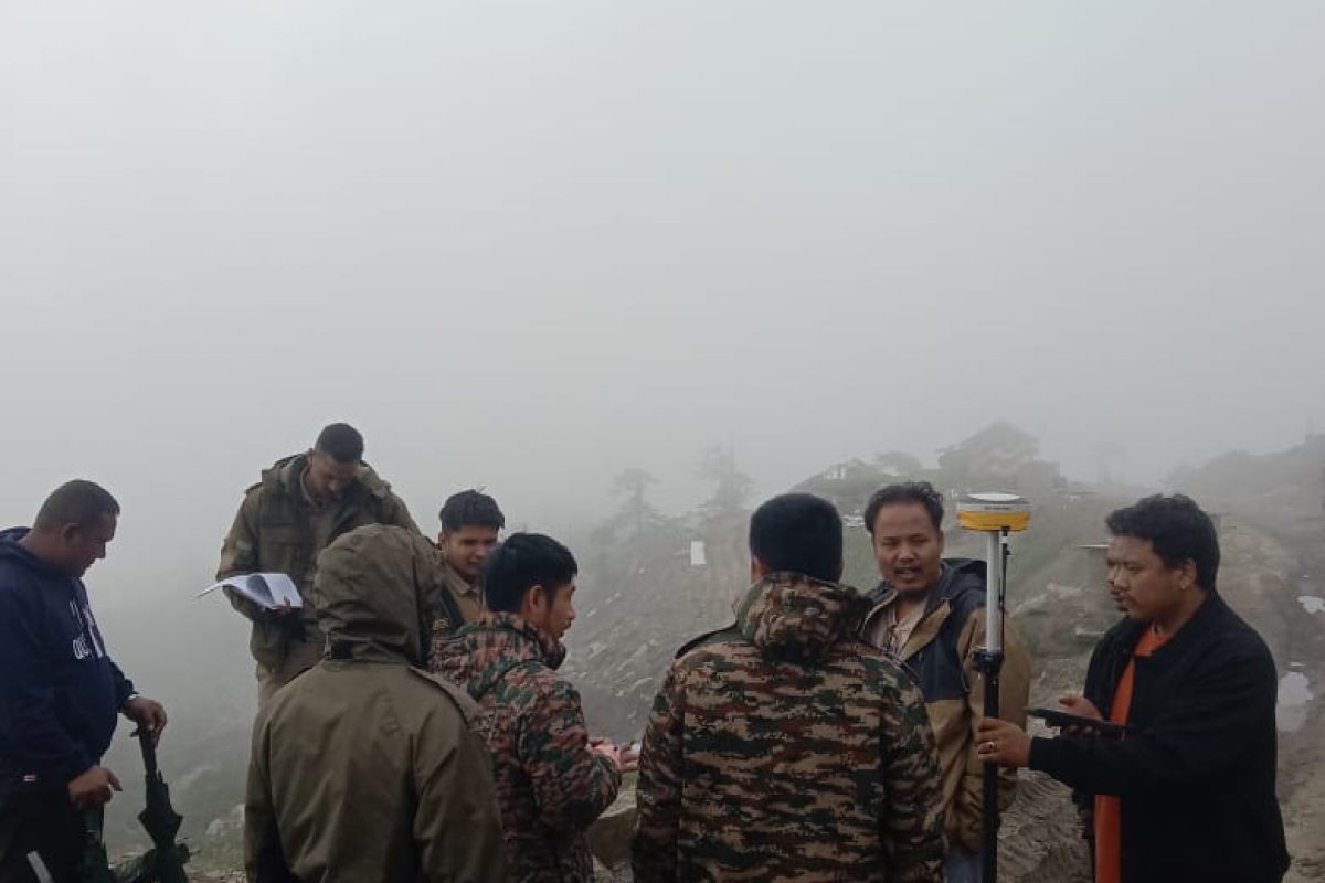
Our team includes certified drone pilots, engineers, architects, and project managers who bring deep knowledge and a results-driven approach to every assignment.
We utilize cutting-edge tools like LiDAR drones, GIS, and advanced modeling software to ensure data accuracy, efficient planning, and reliable project execution.
From consultation to post-project assistance, our team is always available to guide, inform, and support — ensuring a smooth, stress-free experience for our clients.
Have a project in mind or need expert consultation for surveying, design, or infrastructure development? We’re here to help. Get in touch with our team to discuss your requirements and explore how TN Consultant can bring your vision to life.
Have a project in mind or need expert advice? Reach out — we’re here to help you every step of the way.
Have a project in mind or need expert advice? Reach out — we’re here to help you every step of the way.